ITA
ITATours Mountain Bike
- Routes
- Pievepelago
Abetone (1388 m above sea level) derives its name from a huge fir, so great that it can not even be embraced by six people with their arms stretched, which was demolished to make room for the eighteenth road Modenese. Before then, the town was known as Boscolungo, a name which identifies today a fraction of the municipal (1378 m above sea level).
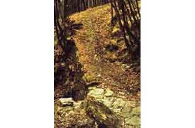
If the story of the first inhabited dell'Abetone is closely linked to each other via the Modenese, the Apennine surrounding ridges were concerned since ancient times by important ways of connecting. They are in fact known at least since Roman transappenninici routes that cross the mountains of Pistoia, connecting the north and south of the peninsula: it seems that Hannibal has used these ways to get in Etruria.
Although
we do not know exactly the pass chosen by the Carthaginian leader, a local tradition distinguishes him with the high Val di Luce (1512)-1798 quota, the so-called Step Hannibal. Despite the Apennine are frequented only in 1732 will pose a hand to the first project for a road through the high peaks, to combine Pistoia with the Emilia Romagna. The new road, wanted dl Grand Gian Gastone of Doctors, however, was made by carriage only Pistoia to Capostrada. Land border between the Grand Duchy of Tuscany, the Duke of Modena and the Republic of Lucca, the forest became of Abetone privileged destination for fugitives of every kind, which in the woods of Appennino shelters were comfortable and easy escape routes. < BR>
With the opening of the street Modenese, not only arose factories and inns, but entire families of peasants, who were granted land to build their homes, moved in the mountains provide for the maintenance of the road, giving thus life settlements that today constitute the municipality of Abetone.
The Unification of Italy marked a critical moment for the Abetone, when the disappearance of borders led to the abolition of customs and traffic to them connected. Beginning in 1863, the date of the launch Porrettana Trail, the road Modenese lost the function of main link between Tuscany and Emilia Romagna. The years of the early twentieth century and were certainly crisis, and the local economy remained essentially linked to the work of forests and the production of coal. The first skier was standing in the country in 1904, but tourism began to speak when the Abetone was "discovered" by some families of Italian nobility: between those who stayed remembers Giacomo Puccini, who owned a villa.
A
first real boost tourism the Abetone knew him in the thirties, when the engineer Lapo Farinati Uberti promoted the development of the Valley of Pozze (now Valley of Light), with projects aimed to achieve a great center runs, with hotels, ski runs and lifts. The Second World War interrupted definitely work in the Valley of Pozze and for the effective exploitation of the area have had to wait more recent years when, thanks to the fame of the great champions of sci Zeno Colò, Cellina Seghi and Vittorio Chierron, Abetone has been transformed into one of the most famous ski resorts in Italy.
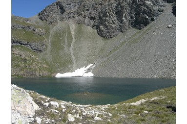
For major sports are dedicated five of the forty ski slopes descending from the slopes of Le Queens, Sestaione (1309 m above sea level) of Pass Selletta (1711 m above sea level) of Fariola Pass (1753 m above sea level), Hannibal Pass (1735 m above sea level), of Mount Elbow (1892 m above sea level) and Faidello (1288 m above sea level). Two tracks are dedicated to cyclist Fausto Coppi, in 1940, still unknown gregario, won the twenty-eighth Tour of Italy at the summit of the Passo dell'Abetone.
Abetone The town is autonomous from 1936.
Center of the City: Abetone (1388 m above sea level)
Fractions: Boscolungo (1378 m above sea level), Regine (1258 m above sea level), Val di Luce (1512 m above sea level)